


Vertical speed and grade adjusted pace are the most reliable outdoor watch metrics for trail runners because they measure true effort rather than just basic movement.
While road running is about flat speed, trail running happens on steep hills and rough ground. This makes standard metrics less useful. An outdoor watch becomes a powerful tool when you focus on sensors that understand the mountain environment.

GNSS Accuracy in Challenging Terrain
Multi-band GNSS technology is essential for accurate distance tracking in areas with heavy tree cover or deep canyons. Standard GPS signals often bounce off rock walls or get blocked by thick leaves.
This causes a problem called signal drift where the watch records a jagged path that is longer than your actual run. Modern watches solve this by using two different frequencies at the same time. These are the L1 and L5 signals.
The watch compares both signals to filter out mistakes and keep your track straight. Multi-band GNSS technology provides the most stable positioning for trail athletes today.
| Feature | Single-Band GPS | Multi-Band GNSS |
|---|---|---|
| Accuracy | Lower in woods | High in all terrain |
| Signal Drift | Common near cliffs | Very low |
| Reliability | Drops in canyons | Stays strong |
Precise Elevation with Barometric Altimeters
A barometric altimeter provides much more precise climbing data than GPS-based height measurements. Satellite height data is often laggy and inaccurate because vertical GPS errors are much larger than horizontal ones.
A barometer works by measuring changes in atmospheric pressure. As you climb higher, the air pressure drops. The watch translates this change into meters of total ascent. This allows you to see your exact progress on a climb in real time. You should always perform altimeter calibration at the start of your run.
This step is important because weather changes can shift the air pressure and cause the altitude numbers to drift. Using a barometer ensures that your outdoor watch calculates every meter of your mountain climb correctly.
Understanding Intensity with Grade Adjusted Pace
Grade Adjusted Pace is the best way to understand your true intensity when you are running up or down steep hills. Your speed drops significantly on a steep incline even when you are working much harder than usual.
This makes your normal pace look very slow on the screen. Grade Adjusted Pace uses a method called incline normalization to fix this. It shows you what your speed would be when you are running on a flat road with the same effort.
This metric helps you maintain effort consistency throughout a race. When your vertical speed is high, your GAP will reflect a fast effort regardless of your actual movement speed. You can find more about how Grade Adjusted Pace works to help you manage your energy.
Optical Heart Rate and Cadence Lock
Optical heart rate sensors on the wrist often lose accuracy during technical trail runs due to a problem called cadence lock. Wrist-based sensors use green lights to detect blood flow through your skin. When you run down a steep or rocky trail, your arms swing quickly to help you balance. This movement causes the watch to bounce against your arm.
The sensor can mistake the rhythm of your steps for the rhythm of your heart. This creates a rhythmic interference where your heart rate numbers match your steps per minute.
Your watch might show a heart rate of 180 beats per minute when you are actually at 140. You should wear the watch strap very tight above the wrist bone to improve reliability. Many serious runners use a chest strap to ensure they stay in the correct training zones.
Staying Safe with Offline Mapping
Offline TOPO maps are a critical safety feature that helps you stay on course when trail markers are missing. A basic watch only shows a breadcrumb trail which is a simple line on a blank background. Full TOPO maps include details like contour lines, rivers, and peaks.
These maps are stored directly on the outdoor watch so they work without a phone signal. You can follow GPX files to stay on a specific race course. Waypoint accuracy is vital when you reach a confusing intersection in the woods.
Modern watches also offer a back to start feature to guide you home when you are lost. Navigation reliability is the most important factor for safety when you explore new mountain trails.
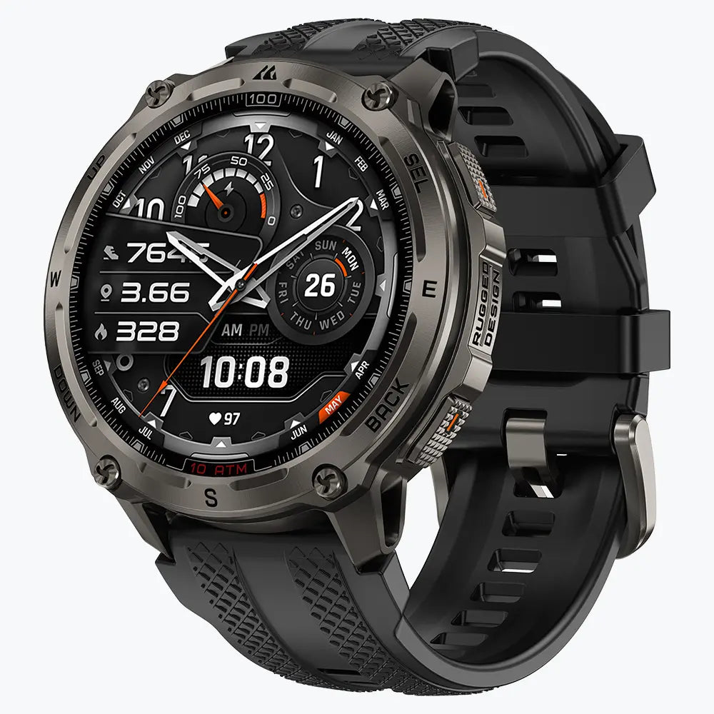
Outdoor Smartwatch Built for Rugged Trails
Kospet Smartwatches offer the perfect balance of rugged durability and high-precision sensors for serious mountain athletes. The TANK T4 and TANK O4 are designed to survive the harshest outdoor conditions. These watches feature stainless steel builds and meet the MIL-STD-810H military standard for shock and heat resistance.
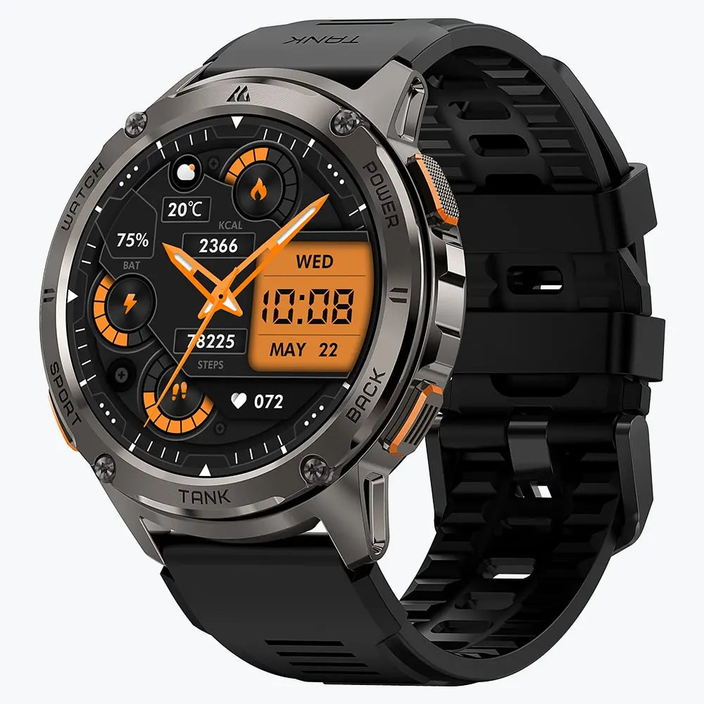
KOSPET TANK T4 Smartwatch
209,99 €EUR

They use advanced dual-band GNSS chips to provide pinpoint accuracy in deep forests. With 32GB of storage, these watches can hold detailed maps for entire mountain ranges. The Kospet rugged Smartwatch is a reliable choice for runners who need a tough tool that stays functional in the wild.
- Extreme Durability: Water and shock resistance for muddy trails.
- High-End Sensors: Accurate barometers and multi-band satellite chips.
- Large Map Storage: Enough space for thousands of miles of trail data.
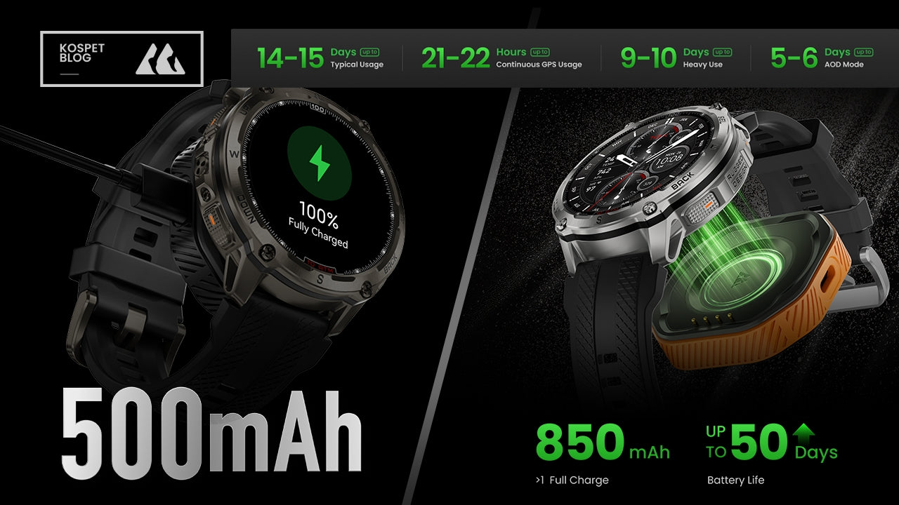
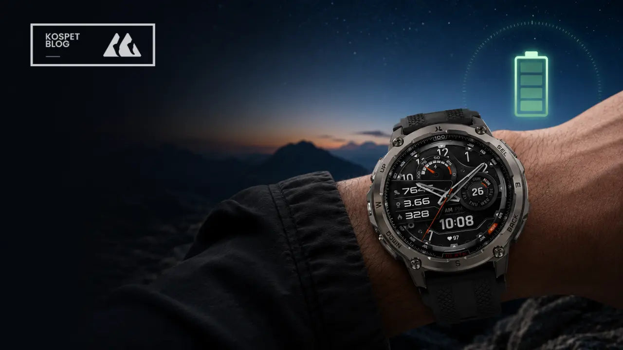
Maximizing Battery for Reliability
Managing your GPS sampling rate is the most effective way to ensure your watch battery lasts through an entire ultra-marathon. A watch that dies before the finish line is not a reliable tool. High-precision modes use the most power because they check your location every second.
You can extend the battery life by choosing an endurance mode for longer races. These modes change the GPS sampling rate to save energy while still recording your total distance. You should turn off features like music or phone notifications to keep the battery strong. Understanding how to optimize GPS settings is the key to recording a 100-mile race successfully.
Conclusion
Trusting your vertical speed and barometric data is the best way to master the mountains. Your outdoor watch provides the facts you need to pace yourself and stay safe.
While satellite signals and heart rate sensors have limits, knowing how they work makes you a smarter runner. Rugged hardware like the Kospet TANK series ensures your data stays safe in any weather. You should use these metrics to support your natural feelings and intuition on the trail.
FAQ
Why do elevation readings differ between two outdoor watches?
Accuracy depends on whether the device uses a barometric altimeter or satellite data. Air pressure shifts and calibration errors also cause small differences. You must set your altitude manually at the trailhead to ensure the most reliable climb data.
Why does my heart rate jump during fast descents?
This issue is known as cadence lock. The optical sensor mistakes the rhythm of your arm swings for your actual pulse. You must secure the watch tightly above your wrist bone to prevent this rhythmic interference.
How can I make my watch battery last for a long mountain race?
You can extend battery life by reducing the GPS sampling rate and turning off the map display. High-precision modes and full TOPO maps require more energy from the processor. Using a simple breadcrumb trail instead of a full color map saves a significant amount of power.


Leave a comment
This site is protected by hCaptcha and the hCaptcha Privacy Policy and Terms of Service apply.